Appendix: Additional resources
Geospatial small area estimation in R
1. Introduction
2. R setup
3. Vector files (shapefiles)
4. Rasters
5. Survey data
6. Creating and selecting features
7. Estimating the model
8. Mapping the results
9. Conclusion
Appendix: Additional resources
Geospatial small area estimation in R
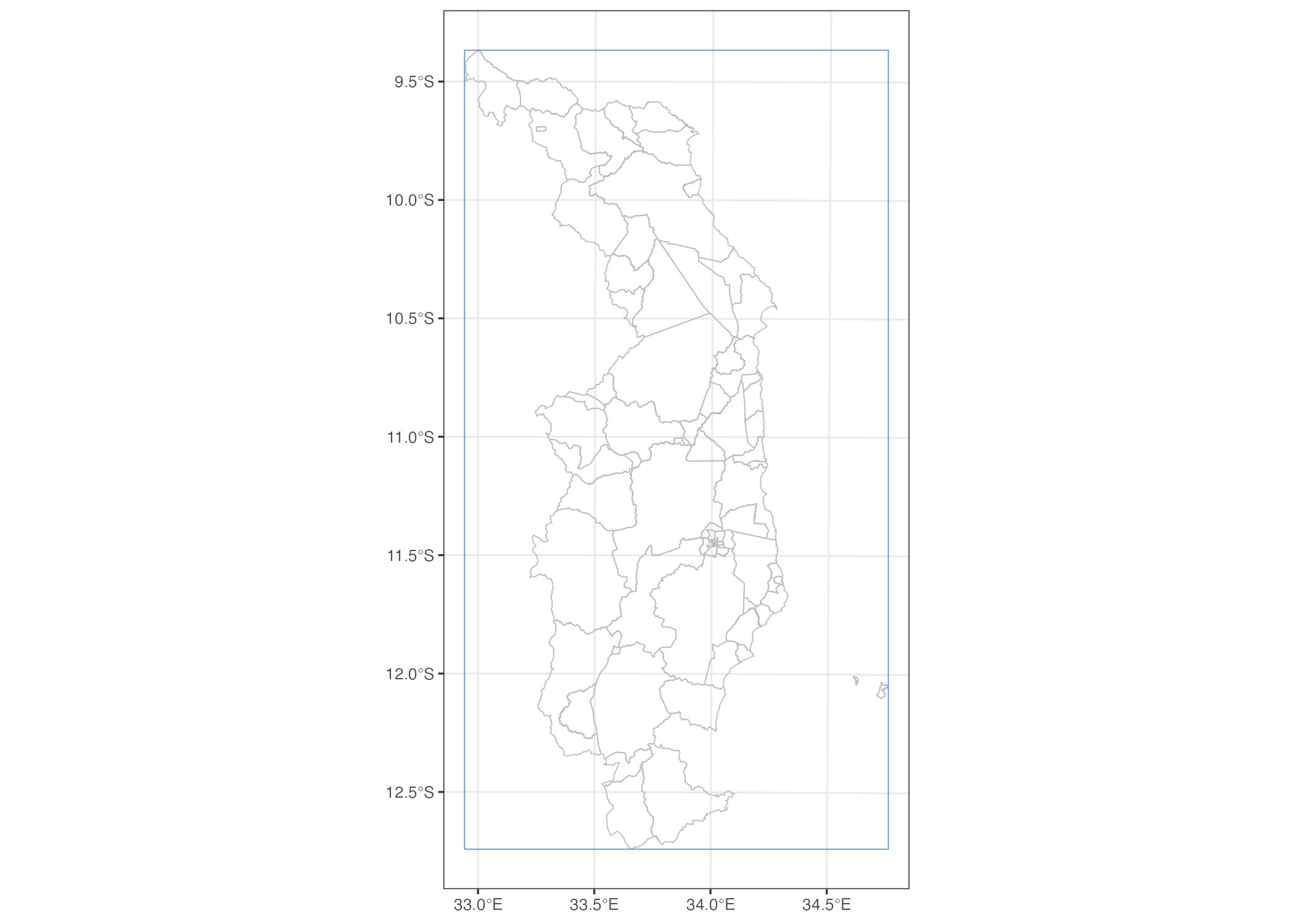
Figure A1: A bounding box for Northern Malawi